

COKEVILLE — Areawide snowpacks in southwest Wyoming climbed to above median, for the most part, except in the Upper Green River Basin, during the past month of February. The high elevation snowpacks gained the most last month with increases of 10-15% more in Snow Water Equivalent (SWE).
This item is available in full to subscribers.
To continue reading, you will need to either log in to your subscriber account, below, or purchase a new subscription.
Please log in to continue |
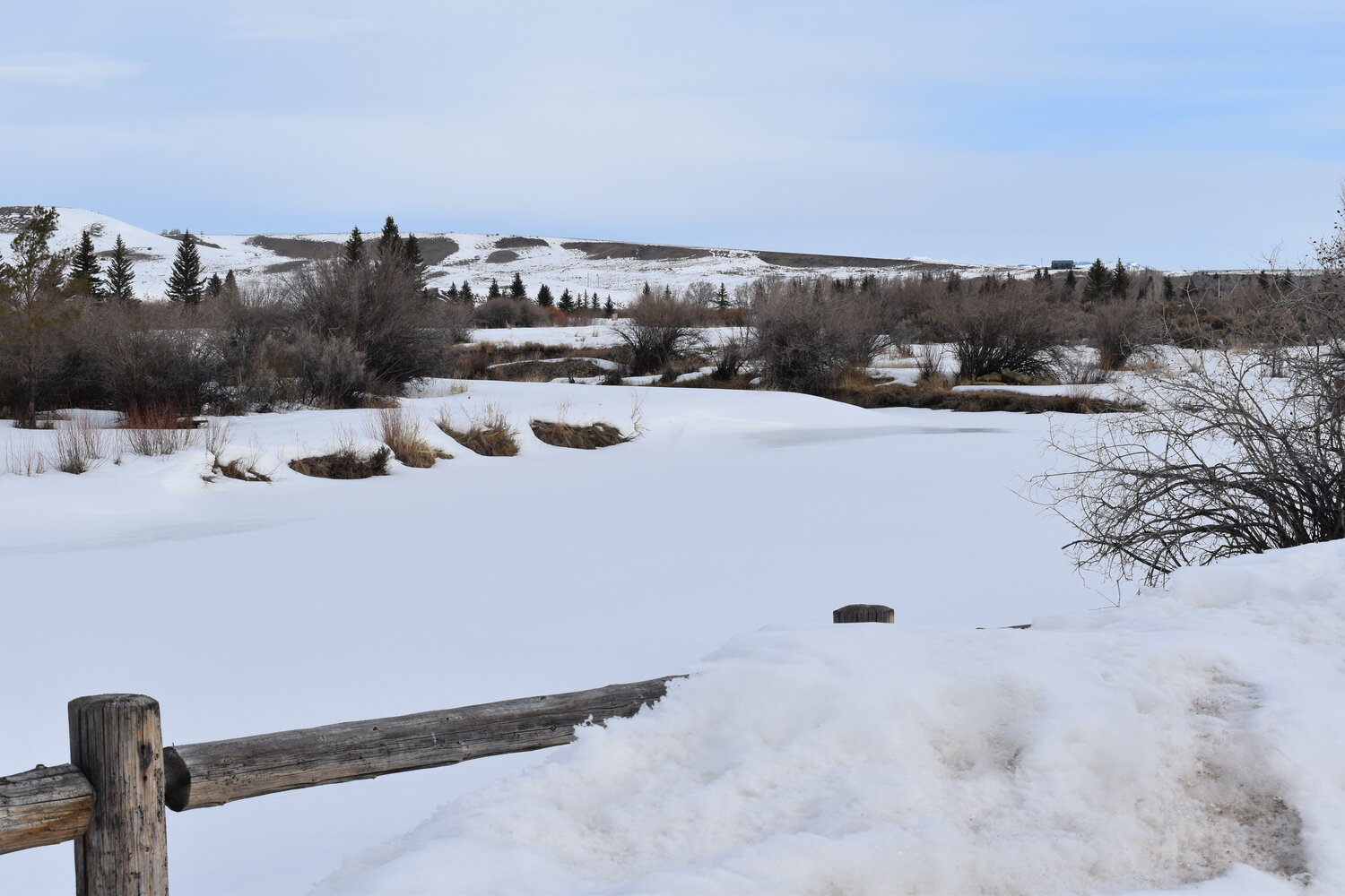
COKEVILLE — Areawide snowpacks in southwest Wyoming climbed to above median, for the most part, except in the Upper Green River Basin, during the past month of February. The high elevation snowpacks gained the most last month with increases of 10-15% more in Snow Water Equivalent (SWE).
Low elevation snowpacks are also gaining well but are not near as high as last year’s SWE, which is appreciated.
As of Feb. 14, this year the Snake River Basin’s snowpacks’ SWE, as a whole, was 99% of median, much improved over last month’s median of 74%.
Last year’s snowpacks’ SWE, as a whole, was 107% of normal. The Salt River Drainage Basin’s SWE currently ranged from a high at the CCC Camp Manual Snow Course of 124% of median, to a low at the Cottonwood Creek Snotel Site at 106% of median.
The Greys River Drainage Basin’s (GRDB) snowpacks’ SWE ranged from a high at the Blind Bull Summit Snotel Site at 98% of median, to a low at the Spring Creek Divide Snotel Site at 96% of median. The GRDR snowpacks gained respectively well this past month.
Most probable water flow prediction for the Greys River, as of Feb. 1, was estimated to be 88% of median. The Salt River near Etna most probable water flow prediction was 87% of median. Jackson Lake, as of Feb. 1, was 71% of capacity.
The Upper Bear River Basin’s snowpacks’ SWE, as a whole for March 4, was 117% of median; this is lower than last year’s median of 131%, but it is doing very well.
The snowpacks’ SWE in the Cokeville area ranged from a high at the Salt River Snotel Site of 117% of median, to a low at the Big Park Manual Snow Course at 116% of median. High elevation snowpacks in the Cokeville area had good increases from last month’s median, which helped Pine Creek Ski Resort.
The head of the Bear River’s snowpacks’ SWE ranged from a high at the Bug Lake Snotel Site at 131% of median, to a low at Lily Lake Snotel Site at 114% of median.
As of Feb. 1, the most probable water prediction for the Bear River near Woodruff, Utah, was estimated to be 85% of median. The Smiths Fork River near Border most probable water flow prediction was estimated to be 88% of median.
The Woodruff Narrows Reservoir was 88% of current capacity. Water flow predictions will most likely increase, once March 1 predictions are made available, due to increased snowpacks’ SWEs.
The Lower Green River Basin’s snowpacks’ SWE, as a whole for March 4, was 112% of median. Last year’s overall snowpacks median was 127% of median.
The snowpacks’ SWE in the Upper Hams Fork River Drainage Basin ranged from a high at Kelley Ranger Snotel Site at 113% of median, to a low at the Indian Creek Snotel Site at 99% of median.
As of Feb. 1, the Hams Fork River’s most probable flow below Viva Naughton Reservoir was 78% of median. As of Feb. 1, Viva Naughton Reservoir was 82% of capacity.
Last month’s snowpacks’ SWE improved throughout southwest Wyoming; not excessively, but kept up with projected medians for this time of the year. The month of March usually adds to overall snowpacks’ SWE levels.
Lately, high winds have created high drifts and cornices in the back country that snowmobilers and cross-country skiers need to respect, along with avalanche dangers.
Individuals wanting more snowpack/water forecast information may contact the Lincoln Conservation District (LCD) Field Office at 307-279-3256 or the Wyoming State Engineer’s Office in Cokeville at 307-279-3441.


